

Natalia Barrientos
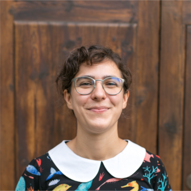
Tell us about yourself
I am Natalia, a Geospatial & Data Viz Developer. My data viz path began with a PhD in Marine Geology (Stockholm University) researching Arctic climate change. Later, I co-led the Balearic Sea Report (Marilles Foundation), translating fragmented marine data into clear reports and visualizations that drove policy action. Realizing my passion lay in turning datasets into visual narratives, I transitioned to software development. Today, I build custom, interactive maps and data visualizations to help clients turn data into powerful visual insights.
How did you hear about DVS?
I discovered DVS online while exploring data visualization opportunities. Because data viz is highly multidisciplinary, joining DVS Plus was a natural step to connect with a global community, access to specialized mentorship, and learn from experienced practitioners.
What has been the most beneficial aspect of being a DVS member?
The mentorship program connected me with an experienced mentor who helped me translate my scientific analytical skills into a strong technical foundation, navigating the overwhelming array of data viz tools. Learning to set clear technical constraints—being intentional about stack choices—was a turning point. Together, through emails, online meetings and an online board we used as a mind map, we solidified my path as an independent Geospatial & Data Viz Developer. Additionally, having a mentor review my projects, identify blind spots, and help me align my visual narratives with clear, actionable insights has profoundly elevated my portfolio. It also expanded my professional network, an invaluable asset in the freelance landscape. I highly recommend this enriching data viz experience.